Model Inspector
Size and Count
Matcap
Wireframe
Vertex Normals
UV Checker
Base Color
Metalness
Roughness
Clipping
rainMapV7.stl
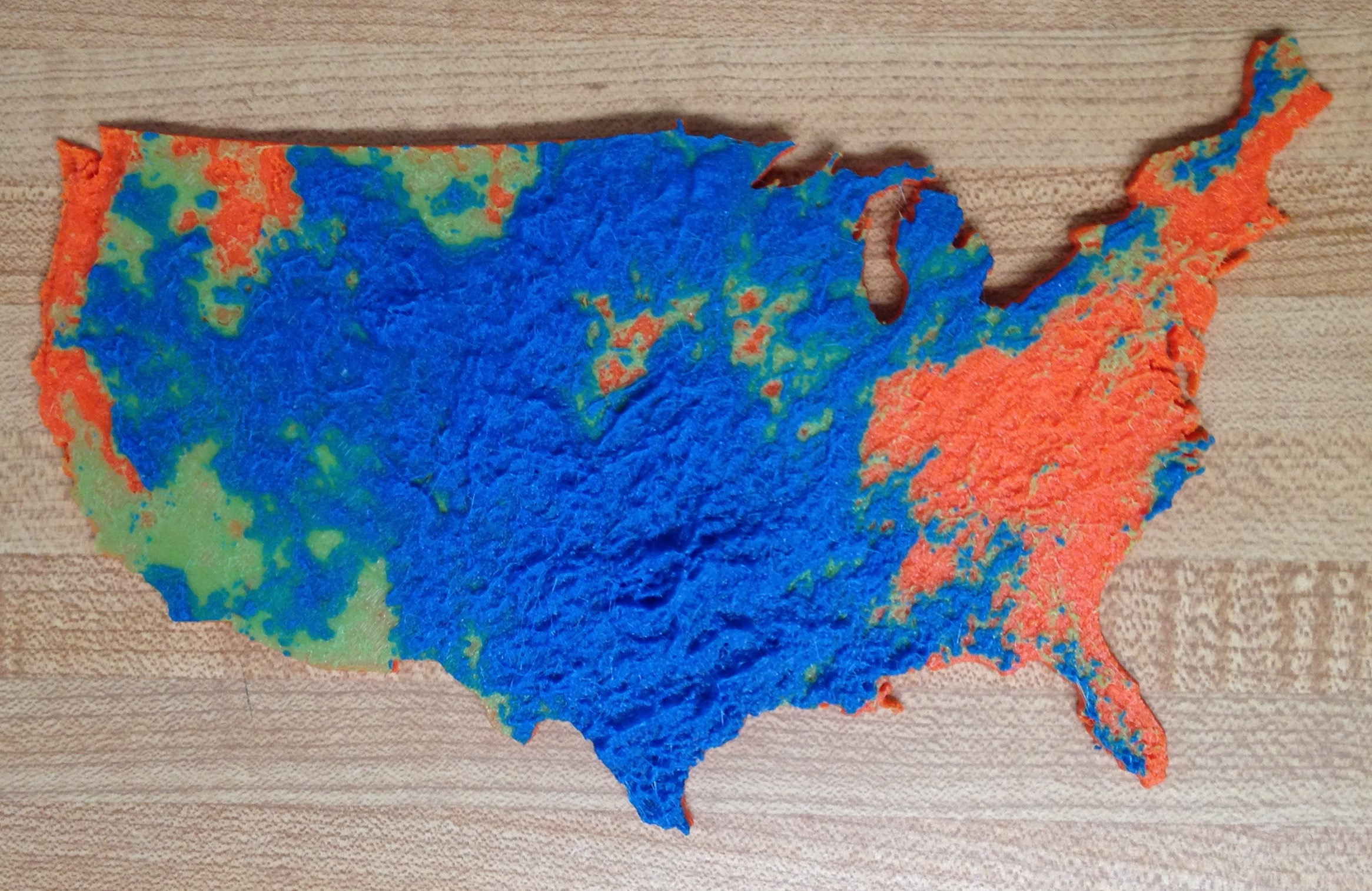
IMG 1224.jpg